Well Well Well
Sept 26 - Moab UT - #90 - 2023
BYWAYS
Tom
10/9/20236 min read
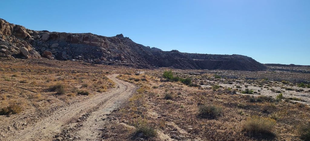
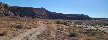
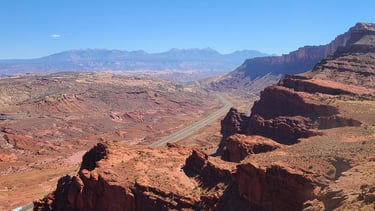
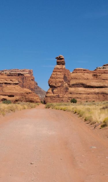
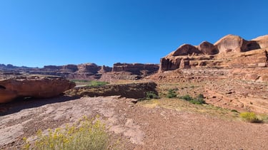
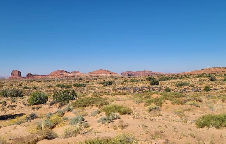
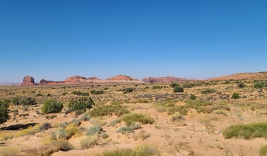
The decision was between taking the short off-road or long highway route. We drove shorter but longer time Crystal Geyser Safari Route to Moab. The scenery is dismal, but other-worldly. I could have sworn we took many pictures of this section, but I can only find one that shows probably the tamest part. It’s as though a giant kid played around with Tonka toys making huge piles of gravel and sand. The truck made it through the many washes and eroded ruts with nary a scratch, well, except a little dragging of the trailer hitch, but who is going to see the underside of that?
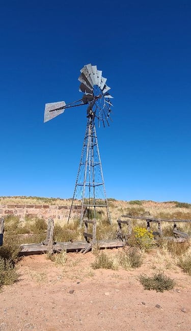
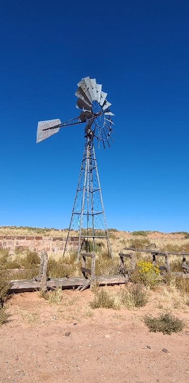
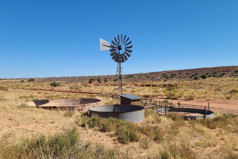
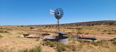
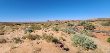
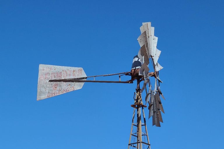
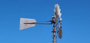
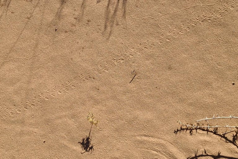
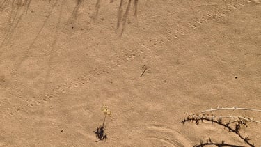
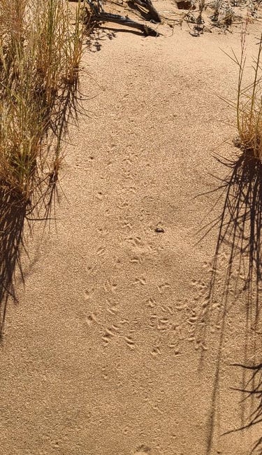
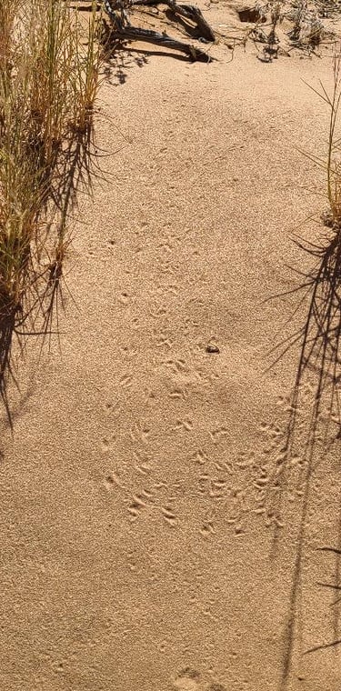
We had a rough idea of which roads to take, but after passing Dubinky Well Rd (also called Old Dead Horse Point Rd on other maps), I had remembered perusing something about the well and made a u-turn to head that direction. Dubinky Well was built in 1937 by the Civilian Conservation Corps to supply water for grazing livestock as the nearest watering hole was more than a mile away. We took in the distant views of the area and marveled at all the tiny resident critter footprints that cover most every inch of the sandy ground. While Cassie couldn’t see them, she curiously sniffed around and must have sensed that something had passed here. The windmill fan is a massive sixteen feet across to enable pumping water up the 500 foot deep shaft. In 1939, they built the addition of a rock & cement storage tank, showing their detailed craftsmanship of the time. They just don’t build stuff like they used to, and look at how this has lasted! Use of the well had diminished through the ’70’s and 80’s. I noticed the shaft is not connected to anything, and the troughs and tanks are dry. The sign below the windmill says it was moved in 1996, but not from where. What saddened and slightly enfuriated me was the sight of so many bullet holes in the metal, and why anyone would think it needed such eternal abuse.

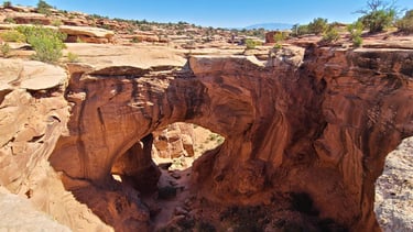

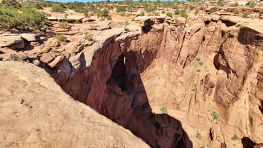
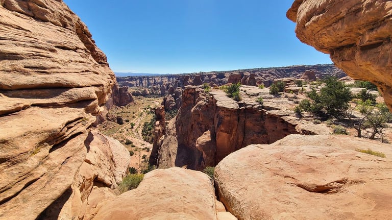
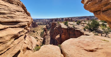
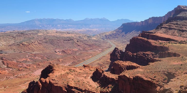
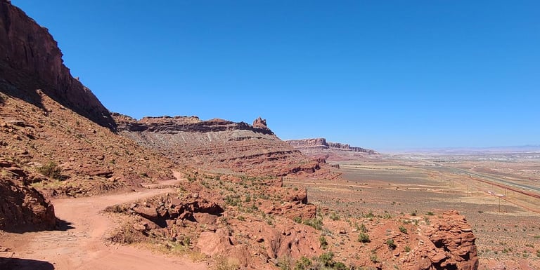
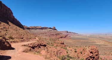
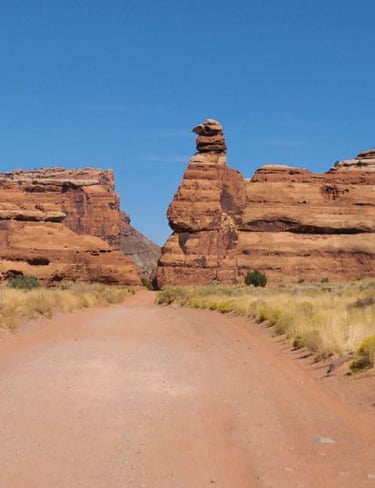
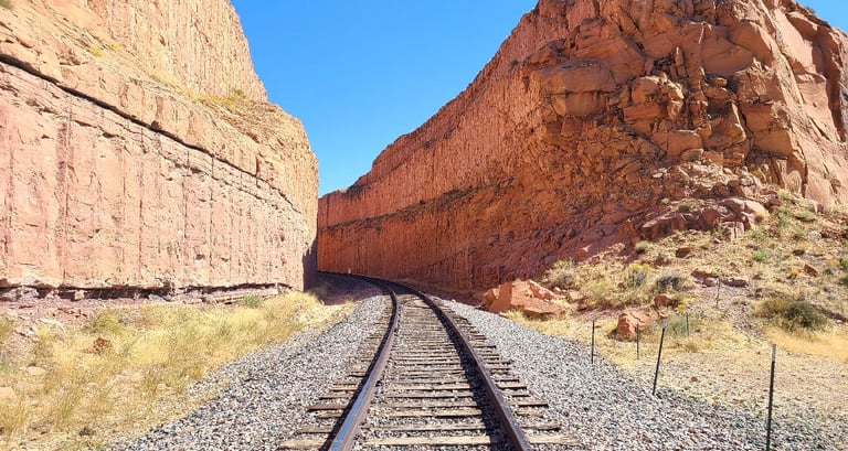
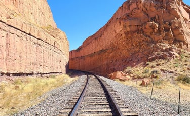
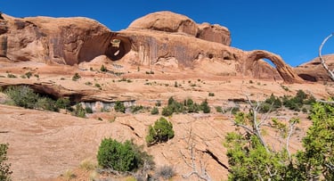
We had a short reprieve from the dusty gravel roads, enjoying the open windows, but it was short lived when we turned down Gemini Bridges Road. The pace slowed considerably as we were bouncing over rocky outcroppings once again. The Gemini Bridges are very close together and quite the popular spot. We roamed about the area for at least an hour, taking in the views of the canyon below before resuming the bumpy journey down to the highway. Again, I wished we would have gotten more pictures of the terrain we were traveling, but the views overlooking the highway shows we were up pretty high. I’m not certain which ones, but the BLM is closing several miles of trails near Moab in the Gemini Bridges and Labyrinth Canyon areas. It might have been good that we went here while we still could. Either way, we drove over the Goonie Bird's toes.
Al said we would stop for doughnuts along the way, but the bakery was closed when we drove by, almost an hour before their store hours, too. We stopped by the new shop for Moab Motorsports, hoping to get a Diamond Billed RockPecker T-shirt from TrailMater, but the shop was closed, likely gone on a call to pull someone out. I was low on luck this day. I guess we should have gotten into a predicament earlier and had to make a rescue call. Oh well, we can do without the T-shirt, and definitely without damage to the truck.
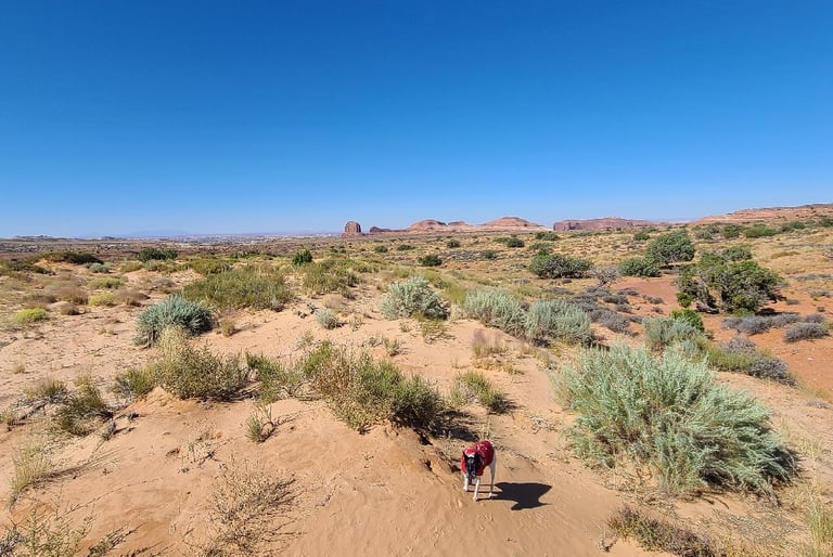
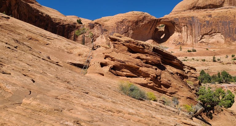
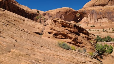
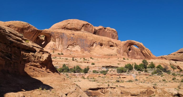
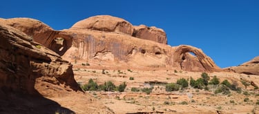
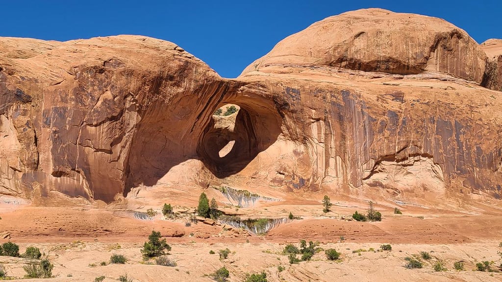
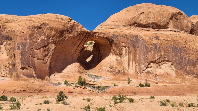
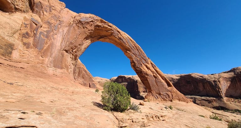
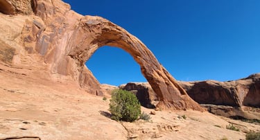
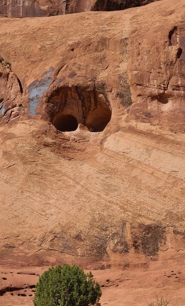
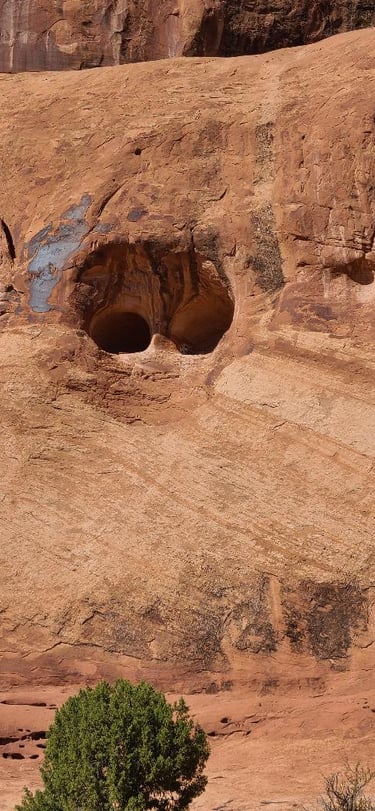
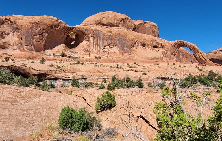
Looking up some of the short-ish hikes, we saw that Corona Arch was highly rated and a short jaunt. Phew, was it hot! But we schlepped along in full sun until we got to the slickrock and chain, of which I couldn’t climb, let alone taking Suki up it, so Al managed to take Cassie up that as well as the make-shift ladder to both Bowtie and Corona Arches. Suki & I stayed below, enjoying the shade of an alcove, and getting a couple pictures of tiny Al way up there. It was nice having the walkie-talkies to communicate, and glad they worked well through all of the rock obstacles. Going back down, we encountered a woman in a wedding dress on her way up... I hope it stays clean with all of the red dusty rock. We used up both bottles of water by the time we got back to the truck as Suki was a thirsty one.
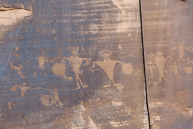
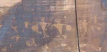
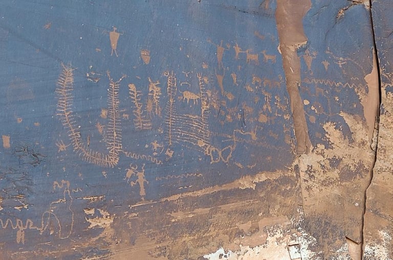
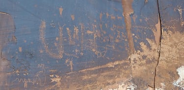
Back on our way, we stopped at the Rock Art petroglyphs. I enjoyed being parked in the shade while Al went to take pictures. We also stopped at the Mill Canyon Dinosaur Tracksite, but due to the time of day, they really didn’t show up in pictures. It was interesting that their stompings in mushy algae solidified in such a way that they still exist today. It makes me think that they were their last steps before an impending doom happened shortly after.
Our friends Tom & Justine were camped along our route home, so we stopped and shared tales of our recent travels, and made plans to meet up later in the week before heading back to our own campsite 30 miles away, and getting there just before darkness set in. It was a full day. We were exhausted. Betty welcomed us back as she was well rested, then began punishing us for our absence.
Today, too, has been hectic. We got a little bit accomplished, spent a few hours on the phone, did some preliminary planning. There have been quite a few vehicles pulling in here and I suspect it will only be getting busier. I think we have everything we need to get us through the next week, and if we don’t, I hope the grocery store has restocked their shelves again as they were out of bread the last time.