Lakes in the Sky
August 2023 - Branham Lakes, Smugglars Mine, Wisconsin Creek Road , MT #52-2023
DISCOVERIESNATURE
AL
8/18/2023
With all the cloudy, rainy weather we were having, we decided to take advantage of the slight reprieve we got and headed out into the old mining country near Sheridan, Montana. We started up Mill Creek Road in hopes of taking it all the way to the campground near the top of the mountain.
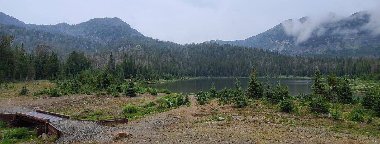
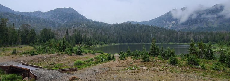
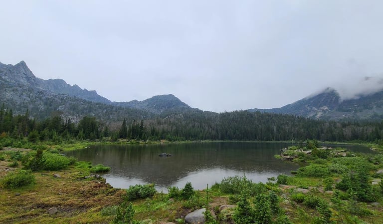
After driving 24 miles from Sheridan, we endured a rock-studded and washed-out road, but succeeded making it to the top. It was passable by most any high clearance vehicle, but it was quite the bumpy ride getting there. Alas, the forecast was not correct, since the fog and clouds thickened with the higher altitudes. At the Top is the Branham Lakes Campground. It looks like a great little tent-camping spot nestled among Upper Branham Lake.
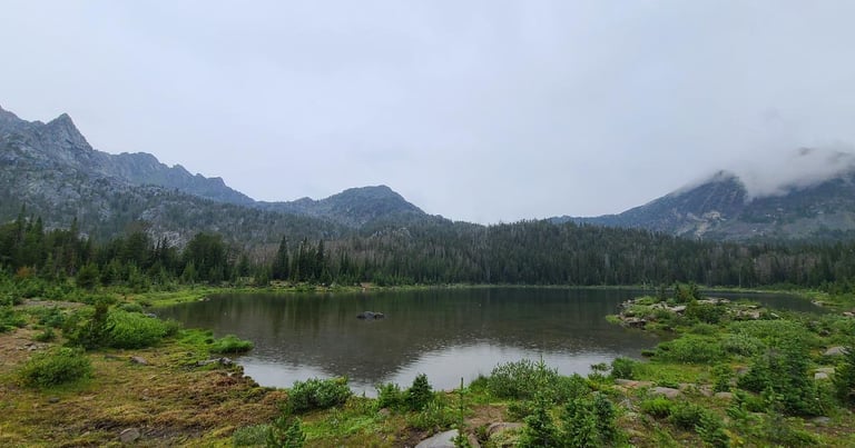
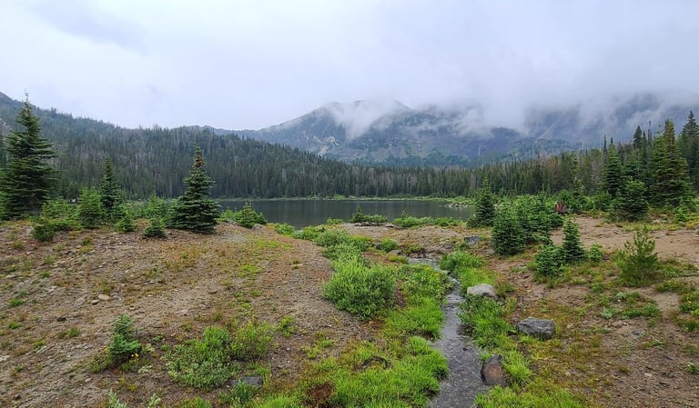
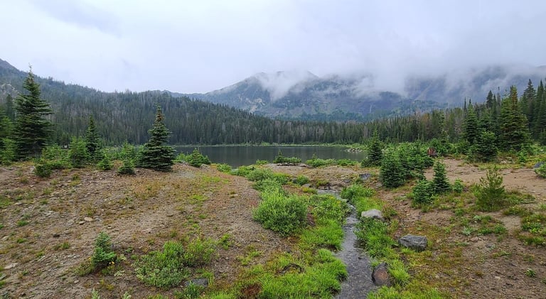
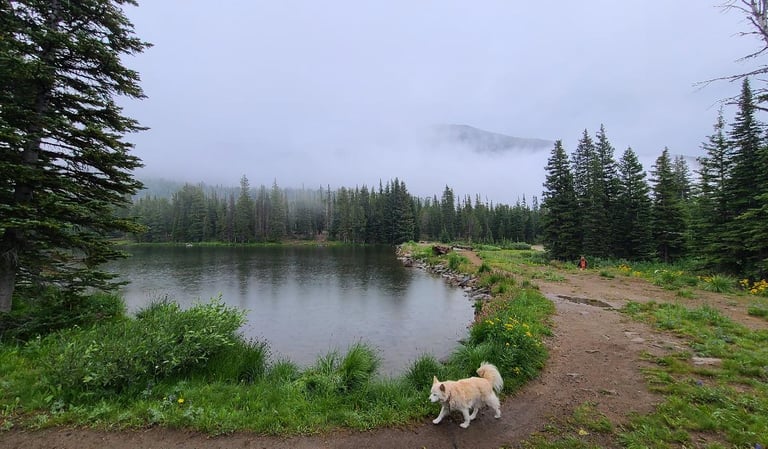
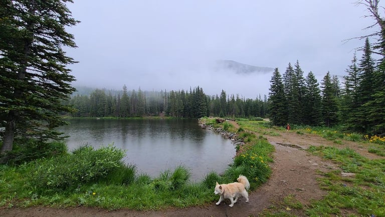
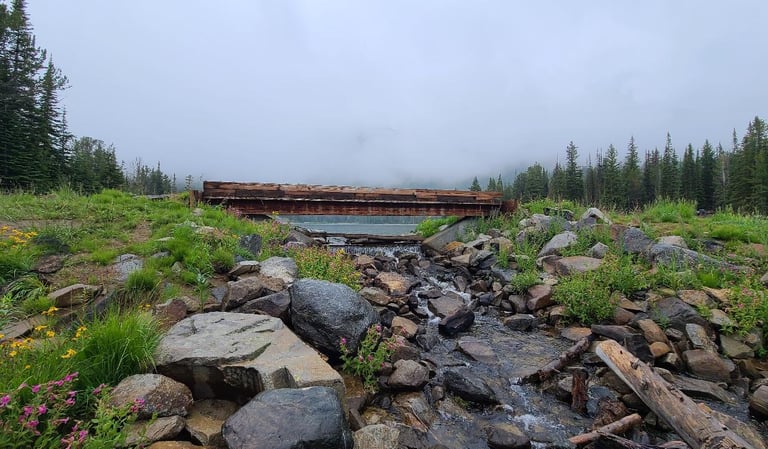
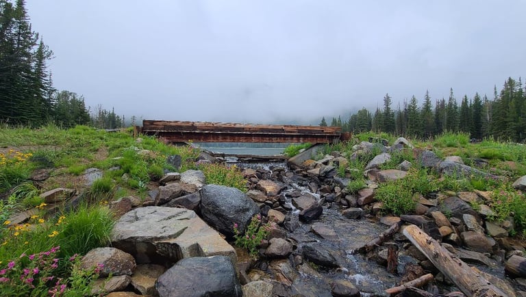
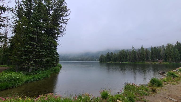
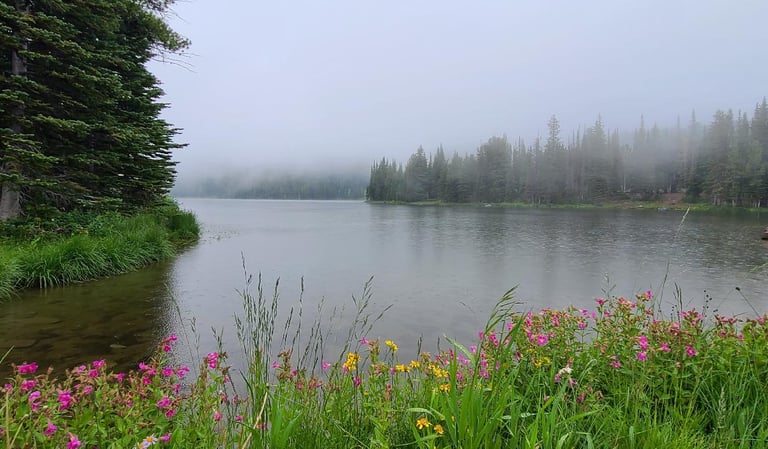
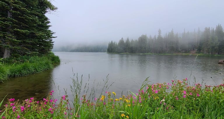
Lower Branham Lake is the smaller of the two lakes. A small footbridge carries you over a narrow outlet stream and around the lake. Upper Branham also has a bridge, but the outfall is wider with a waterfall/cascade coming down the slope and under the bridge. I can only imagine how it would be on a clear day with blue skies. Serene, peaceful, the kind of place they would need to drag you away from.
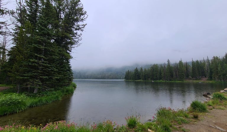
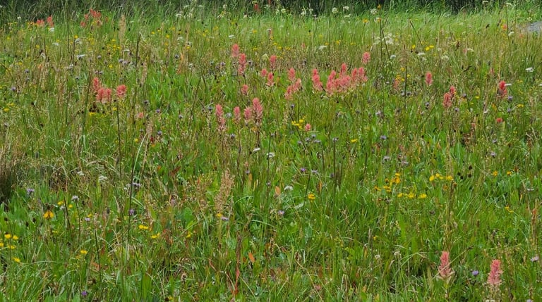
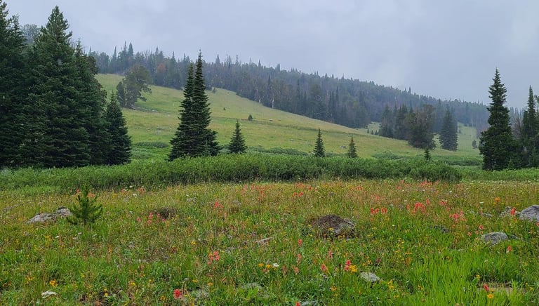
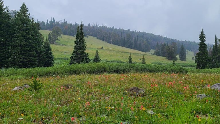
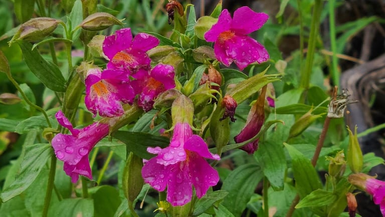
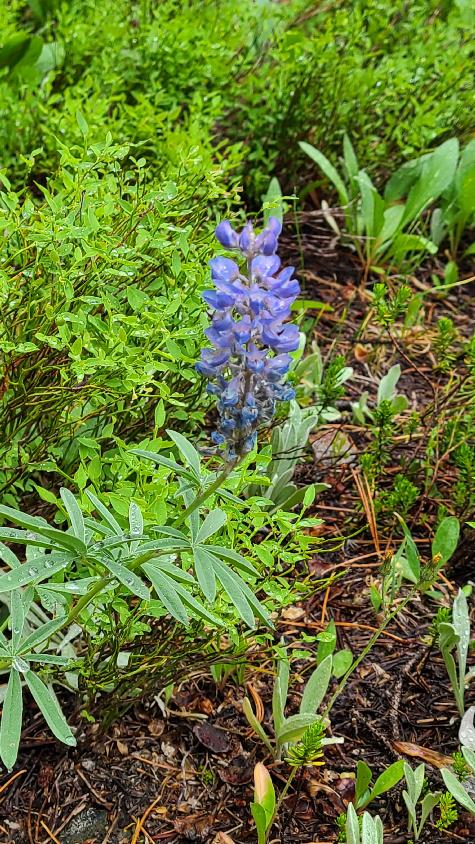
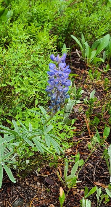
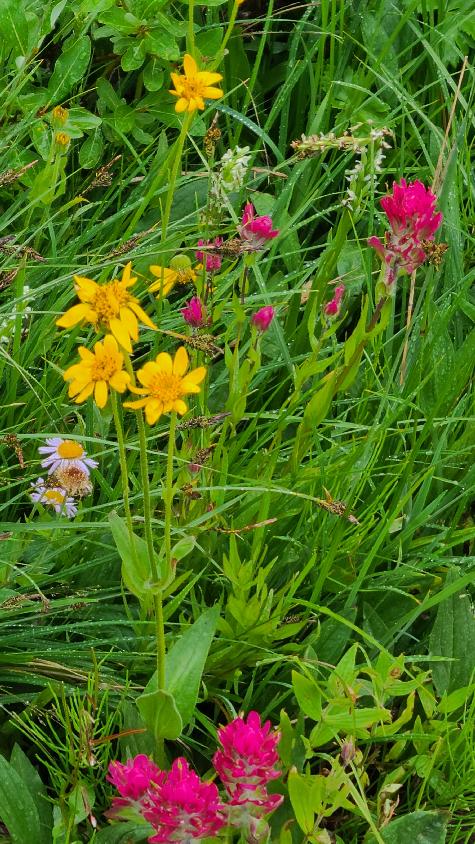
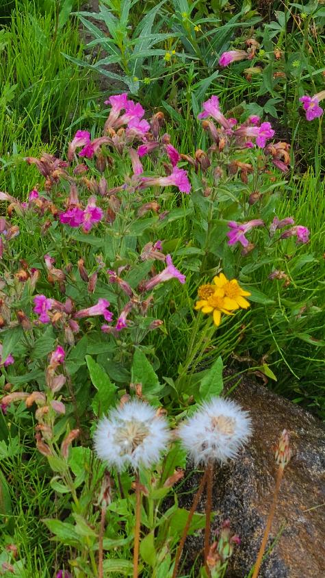
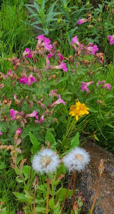
Unfolding before us, the scene was mesmerizing with the calm waters of the lake and dense clouds rolling in. Wildflowers were growing along the banks and large fir and spruce trees took over where the flowers left off, making their way up the mountain side. Even though we had already climbed to an elevation just under 9,000 feet, the mountains still rose high above the lakes. The two lakes, with the mountains for a backdrop were the highlight of the day, if only the clouds weren’t blocking our view with so much of their “look at me” photo-blocking. It even rained on us a few times, but mostly just a light mist or drizzle.
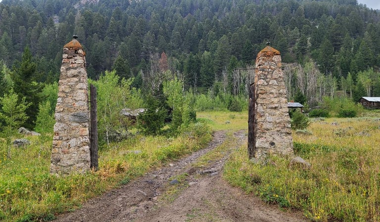
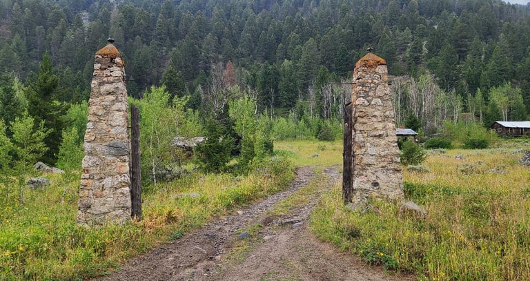
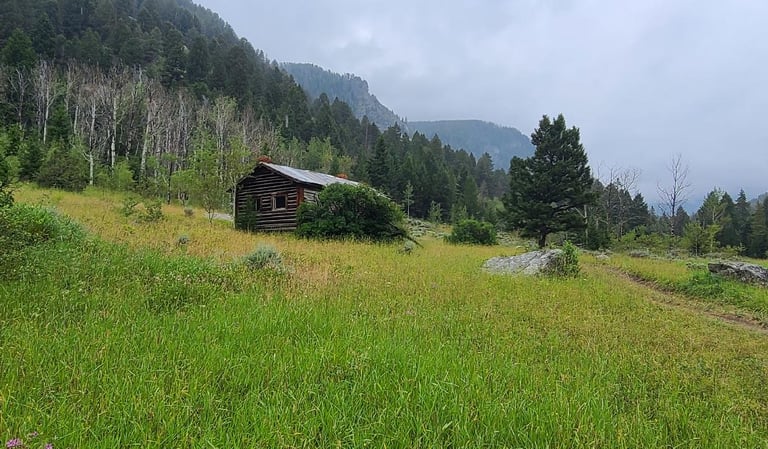
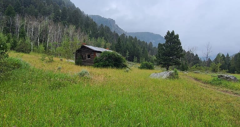
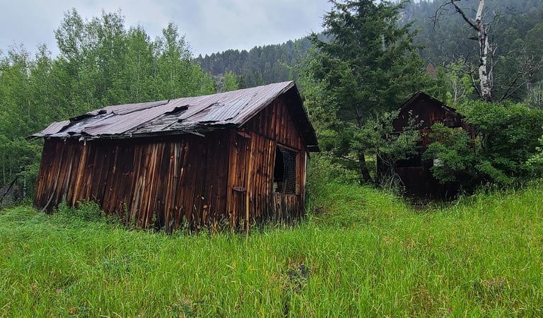
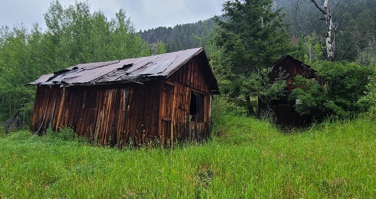
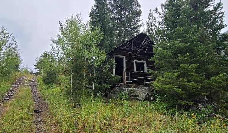
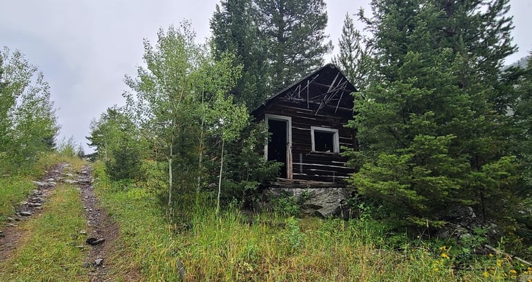
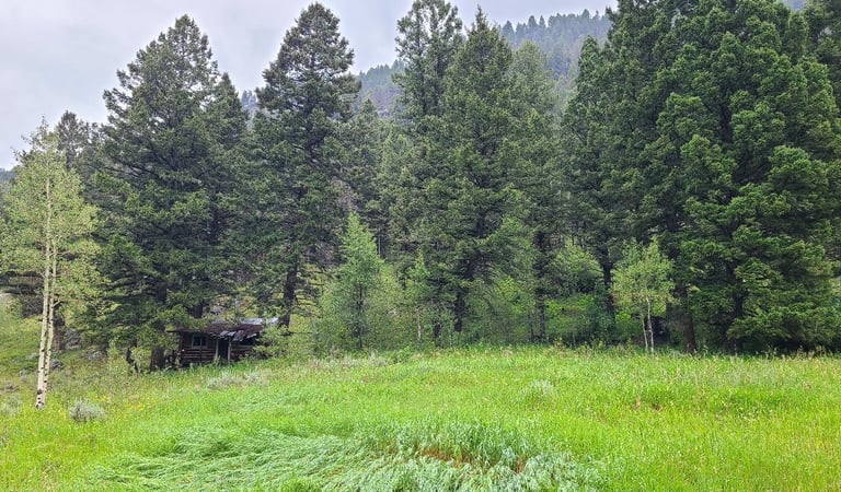
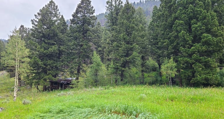
At the Smuggler Mine area, which is on the same road about 14 miles from Sheridan, the tall, stone gate posts marking the entrance to the town are still standing. Several buildings remain along the slope in various states of disrepair. They all have that natural brown/black patina from aging in the weather. Signs posted say to enjoy the buildings but to please show respect and stay outside. On the other side of Mill Creek Road, signs stapled to trees indicate a current mining claim is active.
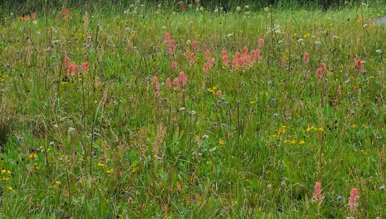
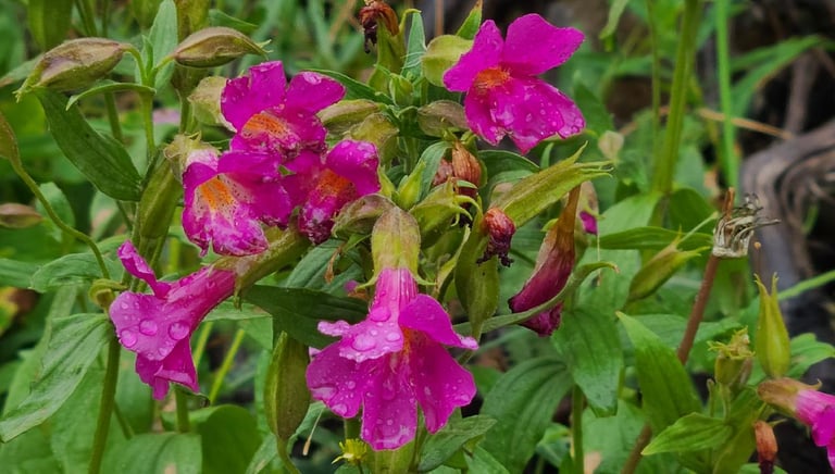
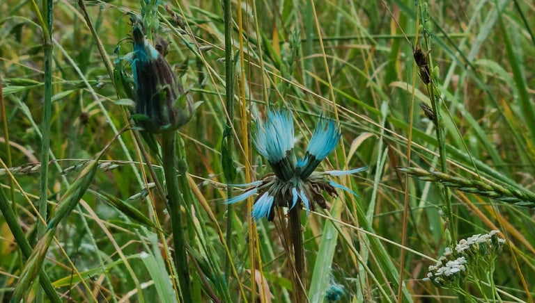
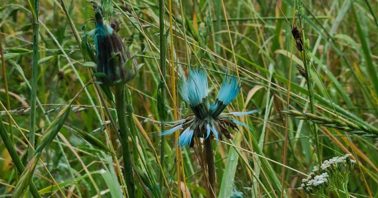
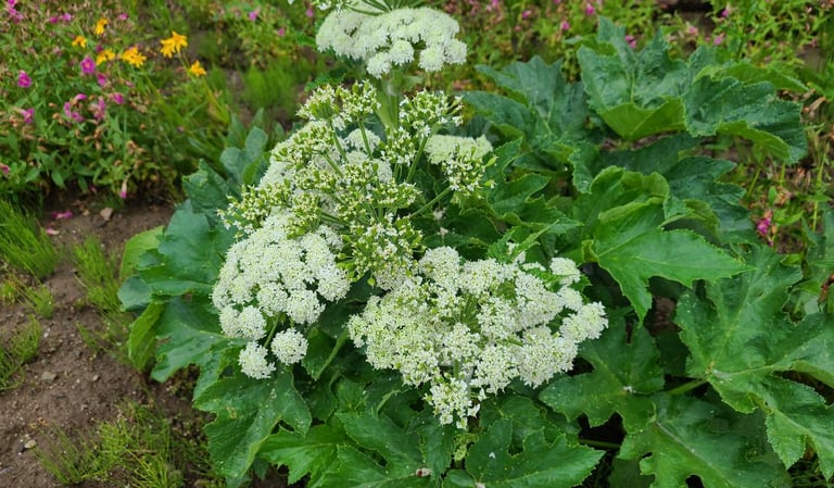
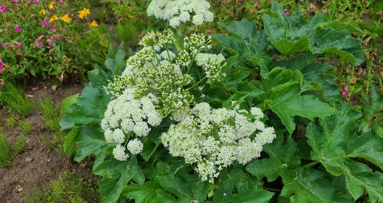
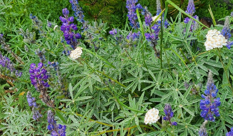
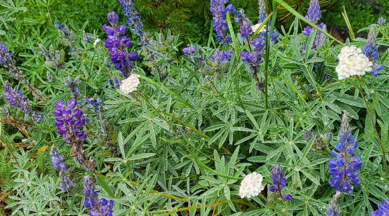
We also drove up Wisconsin Creek Road looking for another ghost town, Leiterville. We found it about halfway up the mountain, but unfortunately, it was all behind gates on private land. Except for the sign noting the location of the town, we could not see much of it besides some ruins barely perceptible from the surrounding forestry. We continued up the road hoping to reach a couple gulches that were noted on the map, but the tunnel of trees was encroaching too close for our liking. We determined that it was not worth the possible consequences, turned around, and headed back down the mountain. All along both roads, wildflowers filled the alpine meadows with color, and you know we can’t resist stopping for them. Along Wisconsin Creek Road, we came across several patches of the most intense, crazy, blue-green flowers and foliage. They looked like the ones you see dyed by the florists. We have no idea what caused the color, but it certainly catches your eye and imagination.

I like that it was one of those drives that turns out to be more than expected. If you can handle the rougher roads, I can’t think of a better way to spend the day. Now, if only we could control the weather, and know when to call a day’s events “enough” before going too far.

Share your comments on Facebook or email us at roadfronts@gmail.com
Subscribe for monthly updates
Current location: